Bayfield Forestry Project
The first forest carbon project on county land in the United States, easing harvest pressure on Wisconsin’s third-largest county forest.
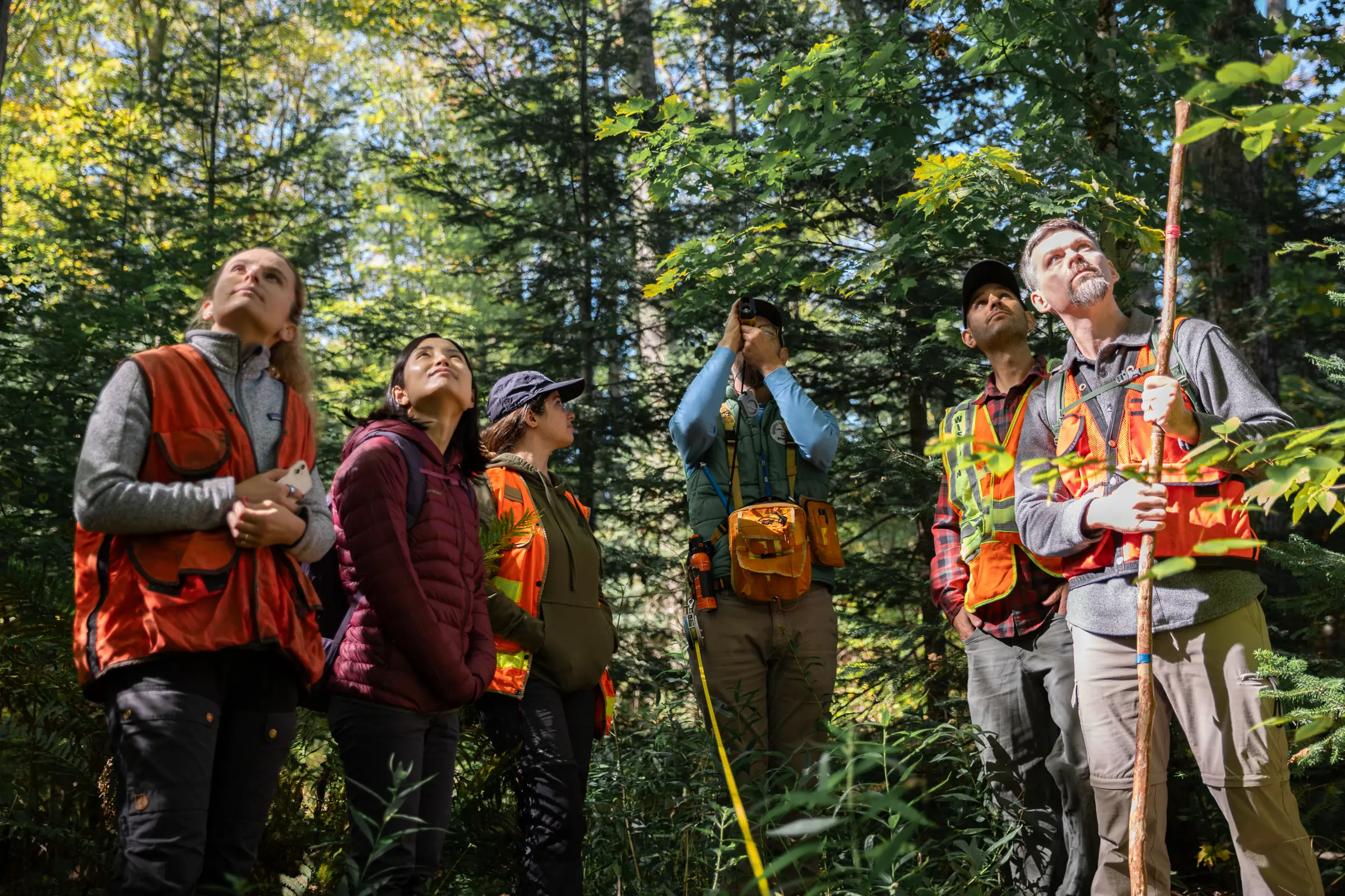
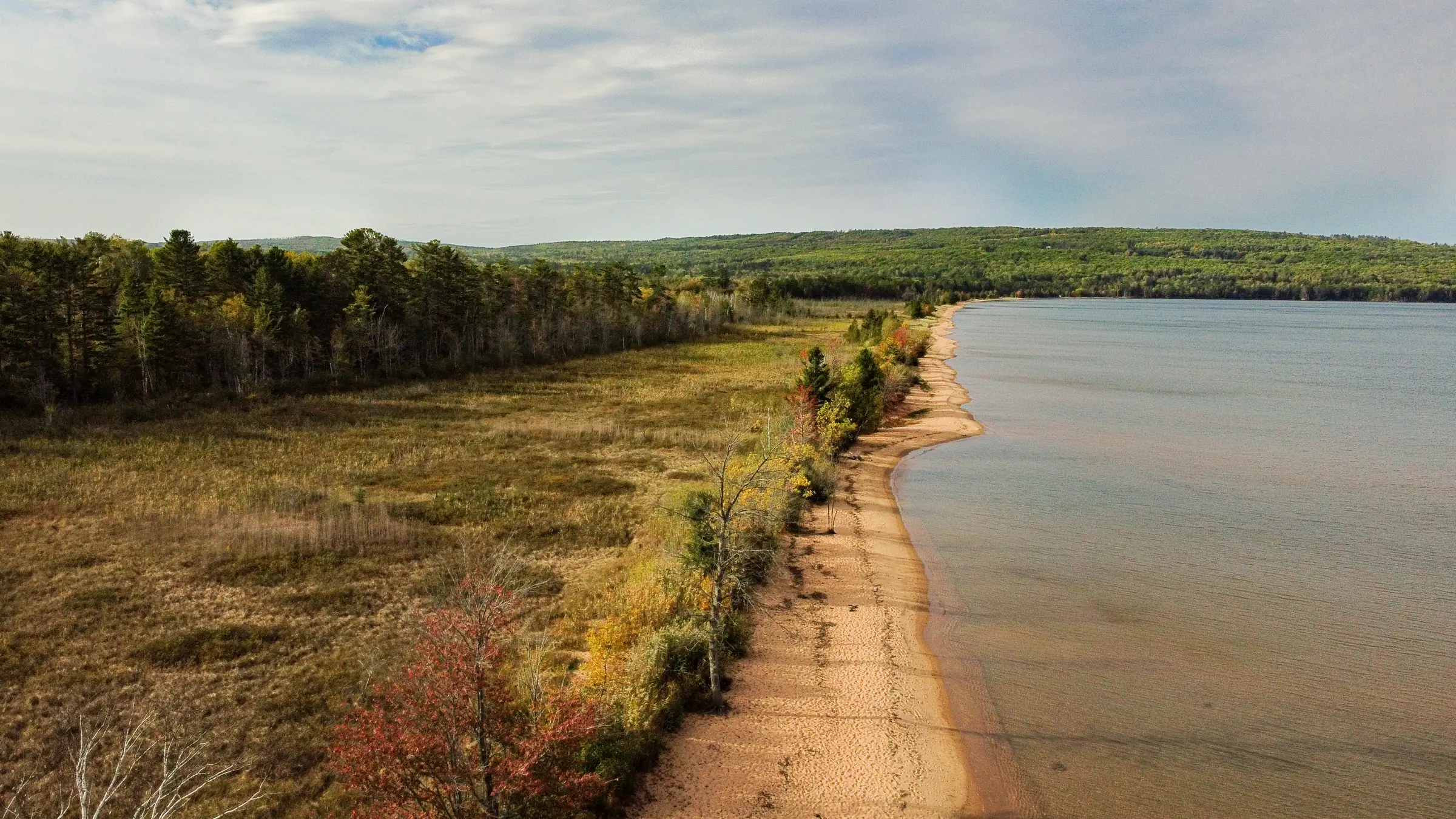
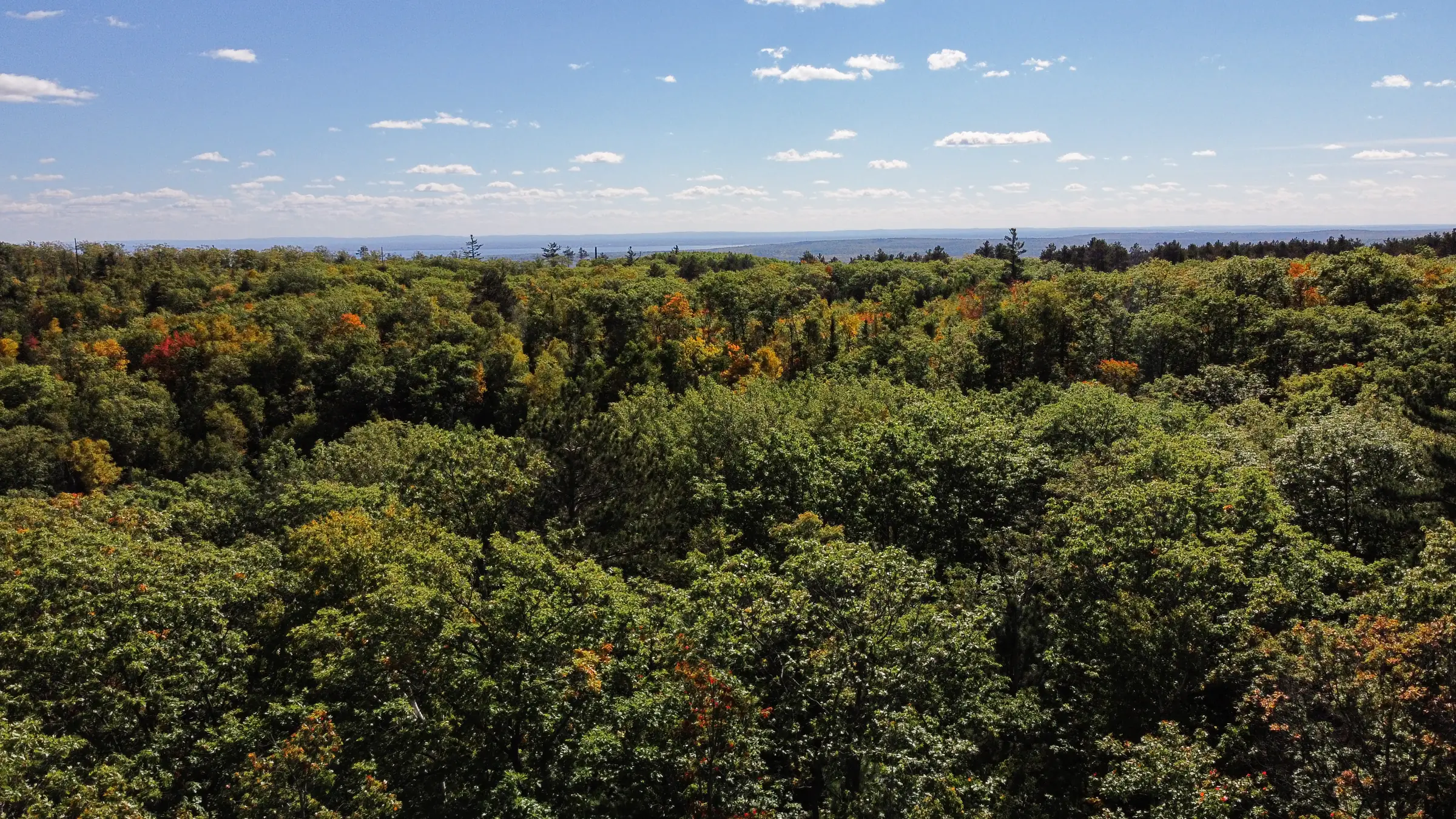
The Bayfield Forestry Project is an Improved Forest Management (IFM) initiative spanning ~160,000 acres of county forest in Bayfield County, Wisconsin—the third largest expanse of county forest in the state. The county has practiced intensive commercial harvesting across its ownership since the Wisconsin State Legislature established the county forest system in 1927. With one of the smallest populations in the state and a limited tax base, timbering revenues are the county’s largest source of income and essential for funding public services and county administration.
The project’s baseline reflects the harvest and acreage thresholds allowed under the county’s pre-existing 15-year Forest Management Plan, approved by the Wisconsin DNR. Under the carbon project, harvest levels are meaningfully reduced below those thresholds, with carbon credit sales displacing revenues that would otherwise be sought through more intensive commercial timbering. The project is registered with the American Carbon Registry and is anticipated to create over 4.9 million tCO2e of emissions reductions over its first 20 years.
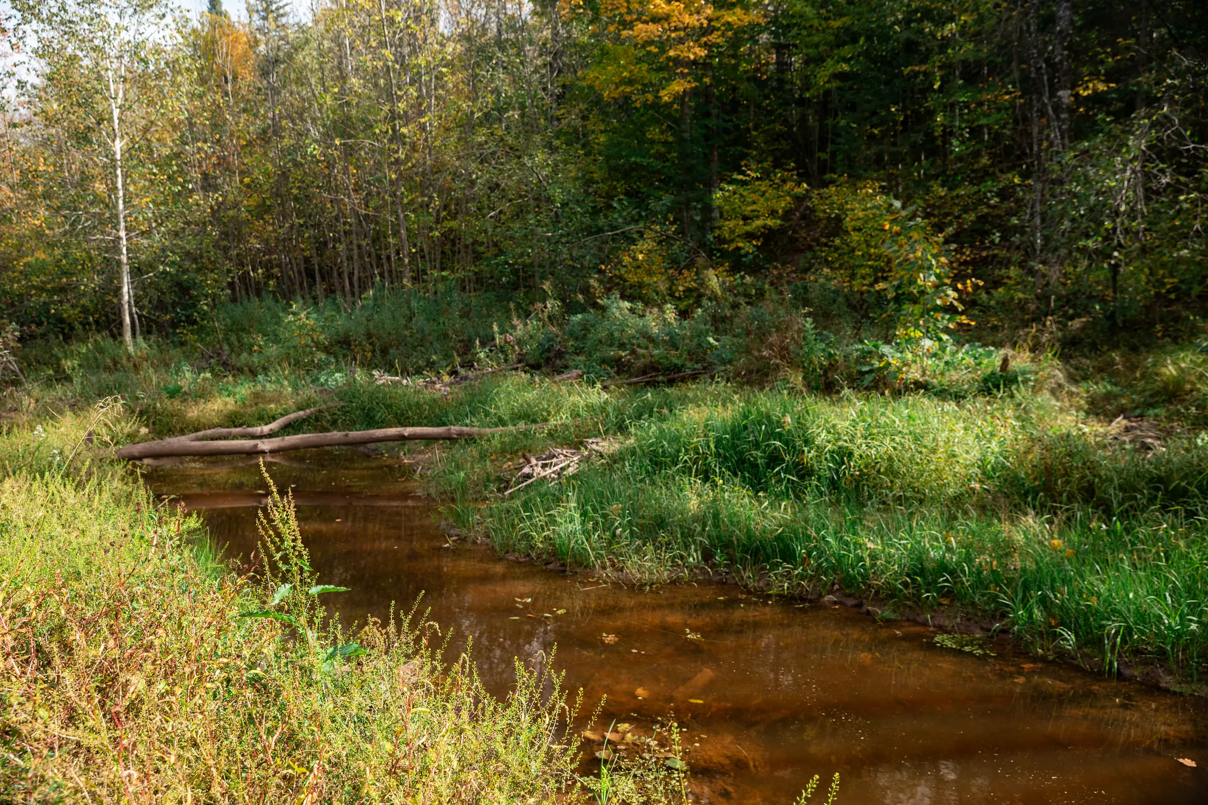
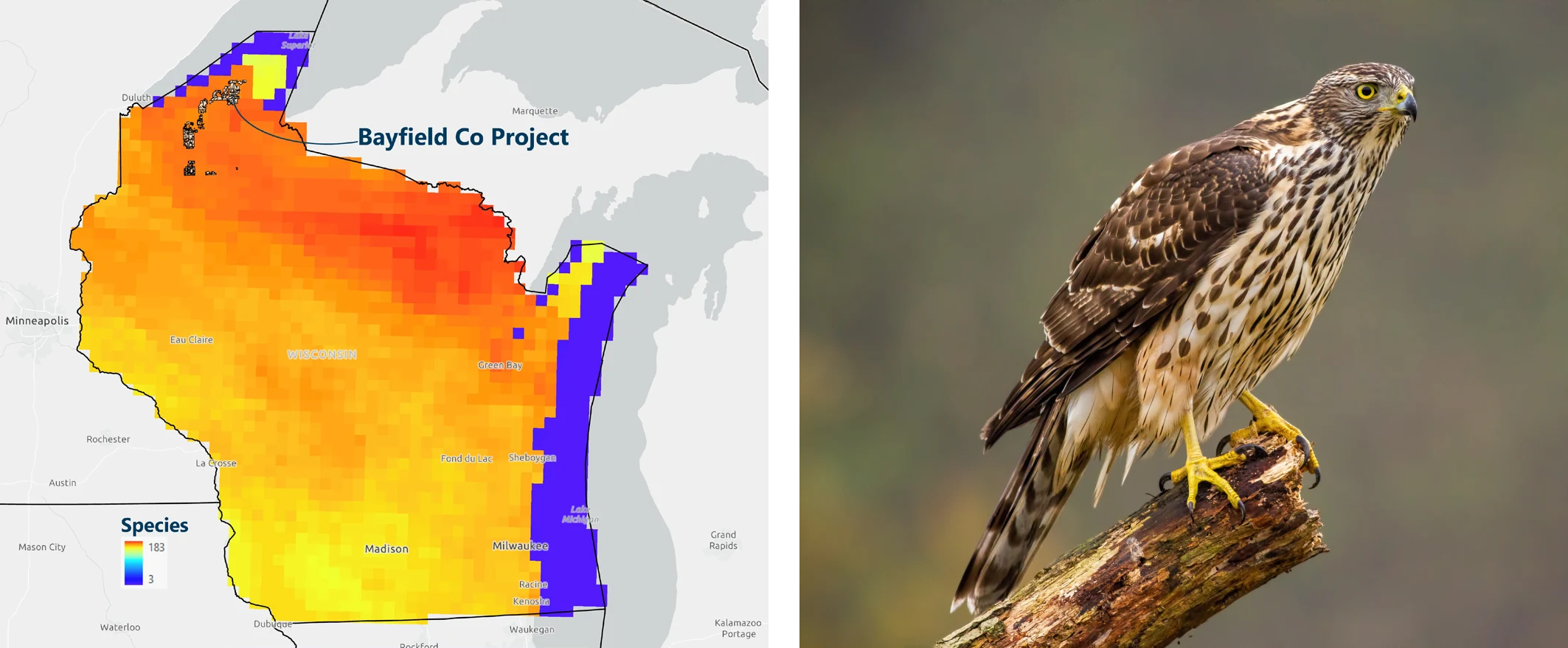
Beyond carbon impact, the project area includes 79 miles of Class I-III trout streams and supports habitat for the Northern Goshawk, a federal species of concern. Bayfield’s forest management team is often a first adopter of new forest management practices, and the success of this project will likely influence other county foresters throughout the state and beyond.

Project Summary and Additionality
Encompassing ~160,000 acres, Bayfield County forests represent the third largest expanse of county forest in Wisconsin. The county has practiced intensive commercial harvesting across its ownership since the Wisconsin State Legislature established the county forest system in 1927. Timbering revenues represent the largest source of income for the county. With a limited tax base due to having one of the smallest populations in the state, forest revenues are essential for funding public services and county administration.
Bayfield County has a comprehensive, 15-year Forest Management Plan which outlines annual harvest goals based on explicit acreage and timber type thresholds. This carbon project will allow for harvest levels to be meaningfully reduced below the thresholds called for under the 15-year plan, as carbon credit sales will be able to displace revenues that would otherwise be sought through more intensive commercial timbering. If this project is financially successful, county managers may consider further curtailment of harvesting in order to prioritize greater carbon accumulation and the generation of higher credit volumes from forest growth.
Notably, this was the first forest carbon project on county land in the United States. In the process of getting this “first-of” carbon project approved by the county Board, project advocates had to dedicate substantial energy to educating stakeholders and overcoming county officials’ concerns. Bayfield’s forest management team is highly respected across Wisconsin and is often a first adopter of new forest management practices and technologies. The success of this project will likely influence the actions of other county foresters throughout the state and beyond.
Baseline Description
The baseline models carbon stocking across the property under a management plan that would utilize the harvest and acreage thresholds allowed within the pre-existing Bayfield County Forest 15-year Forest Management Plan, approved by the Wisconsin DNR. In the absence of the carbon project commitment, the baseline harvest levels, and the associated decline in carbon stocks, could readily be realized and would be attractive due to existing financial pressures on county government. The carbon credits that will be generated from the project reflect a change in management from the approved 15-year Forest Management Plan, via reduced harvesting and increased growth of forest carbon stocks.
Regional Harvest Activities
All harvests/forest losses larger than 5 acres that happened between 2001 and 2021 within a 60 mile radius from the project area are depicted in orange, showing the very real pressures on forests in the area. The carbon project ensures sustainable management on the project area for 40 years, twice as long as the period depicted below.
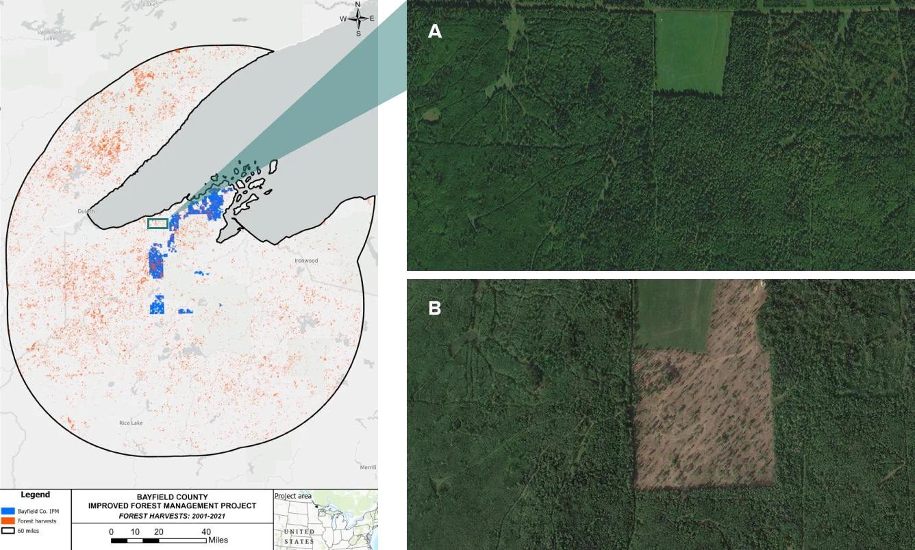
Hansen, M. C., P. V. Potapov, R. Moore, M. Hancher, S. A. Turubanova, A. Tyukavina, D. Thau, S. V. Stehman, S. J. Goetz, T. R. Loveland, A. Kommareddy, A. Egorov, L. Chini, C. O. Justice, and J. R. G. Townshend. “High-Resolution Global Maps of 21st-Century Forest Cover Change.” Science 342 (15 November 2013 & updates): 850–53. Data available on-line from: https://glad.earthengine.app/view/global-forest-change.
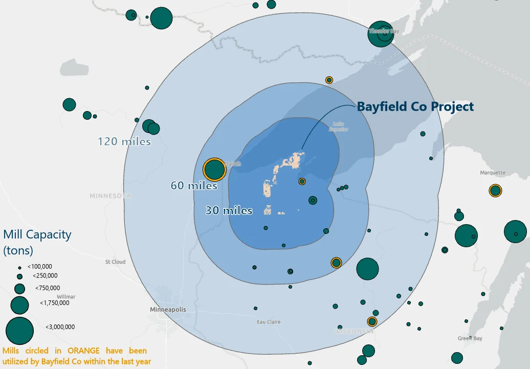
Regional Mill Capacity
Ecological Feature: Northern Goshawk
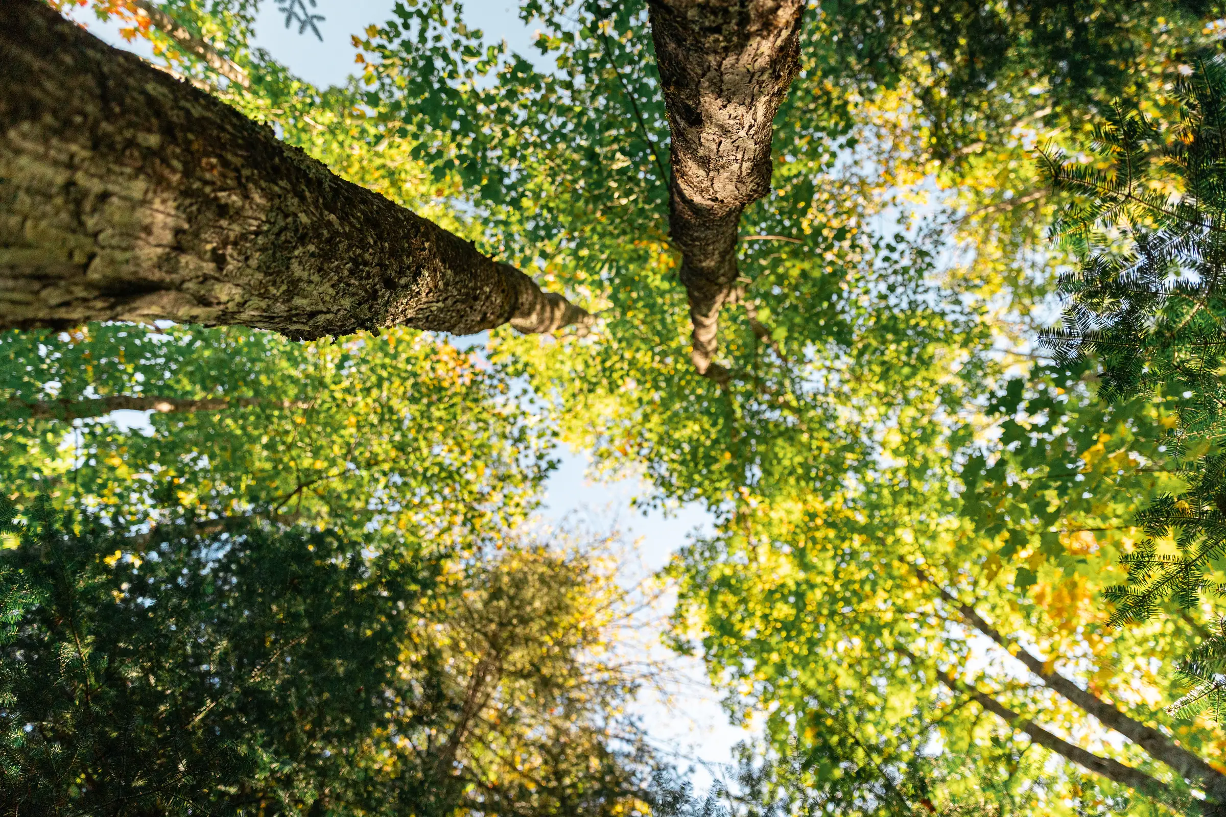
Bayfield County’s forest carbon project helps to ensure the forest management practices that promote Northern Goshawk populations are continued. Lighter-touch management like that done under a carbon regime increases the proportion of mature forests and large diameter trees that the species prefer. This is especially important considering their status as a federal species of concern. Ultimately, this project is expected to have a positive impact on Northern Goshawk habitat and populations.
Project Impacts
Sustainable Development Goals in action
A universal blueprint for a better world—Anew is helping deliver on the United Nations global vision for social, economic, and environmental sustainability.

Clean Water and Sanitation
The protected forest helps preserve the soil, which acts as a natural filter for the stormwater flowing into the many lakes and ponds in the project area.

Climate Action
This project will help trees grow into maturity and sequester a greater amount of atmospheric carbon dioxide through their natural life cycles. Over its first 20 years, the project is anticipated to create over 4.9 million tCO2e of emissions reductions.

Life on Land
A variety of tree species provide habitat for the Northern Goshawk, Kirtlands warbler, sharp-tailed grouse, ruffed grouse, black bear, beaver, and white-tailed deer.
How does IFM generate both removals and conservation credits?
Conservation Credits
Conservation credits account for climate benefit coming from the protection of the project area. Emissions that would have been released if the land was instead harvested in the absence of the project are quantified. Many of the co-benefits associated with forestry projects are inherently linked to the preservation of existing forest stands.
Removal Credits
As the newly protected trees grow, carbon is pulled from the atmosphere and sequestered in the trees’ wood material through the most proven direct air capture technology on the planet, photosynthesis.