Buckeye State Forestry Project
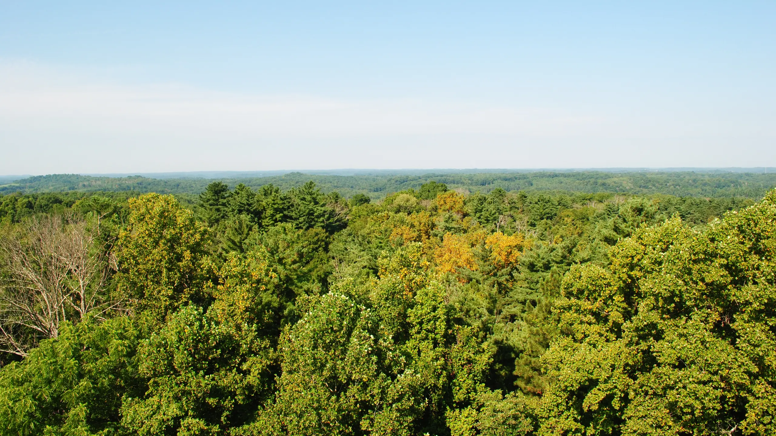
Rehabilitating Ohio’s state forests while funding recreation, research, and habitat on public land.
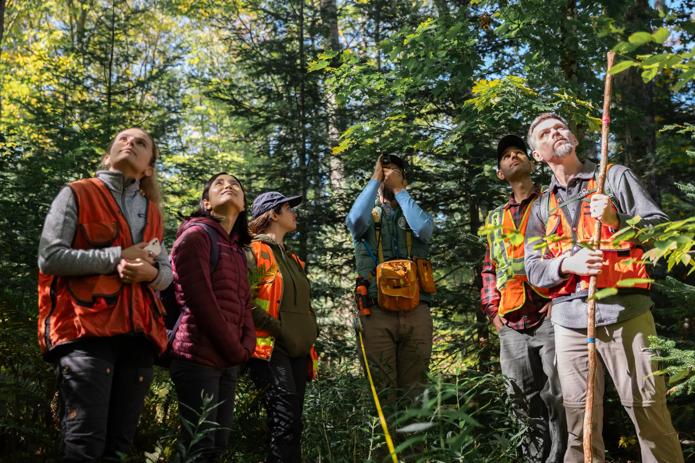
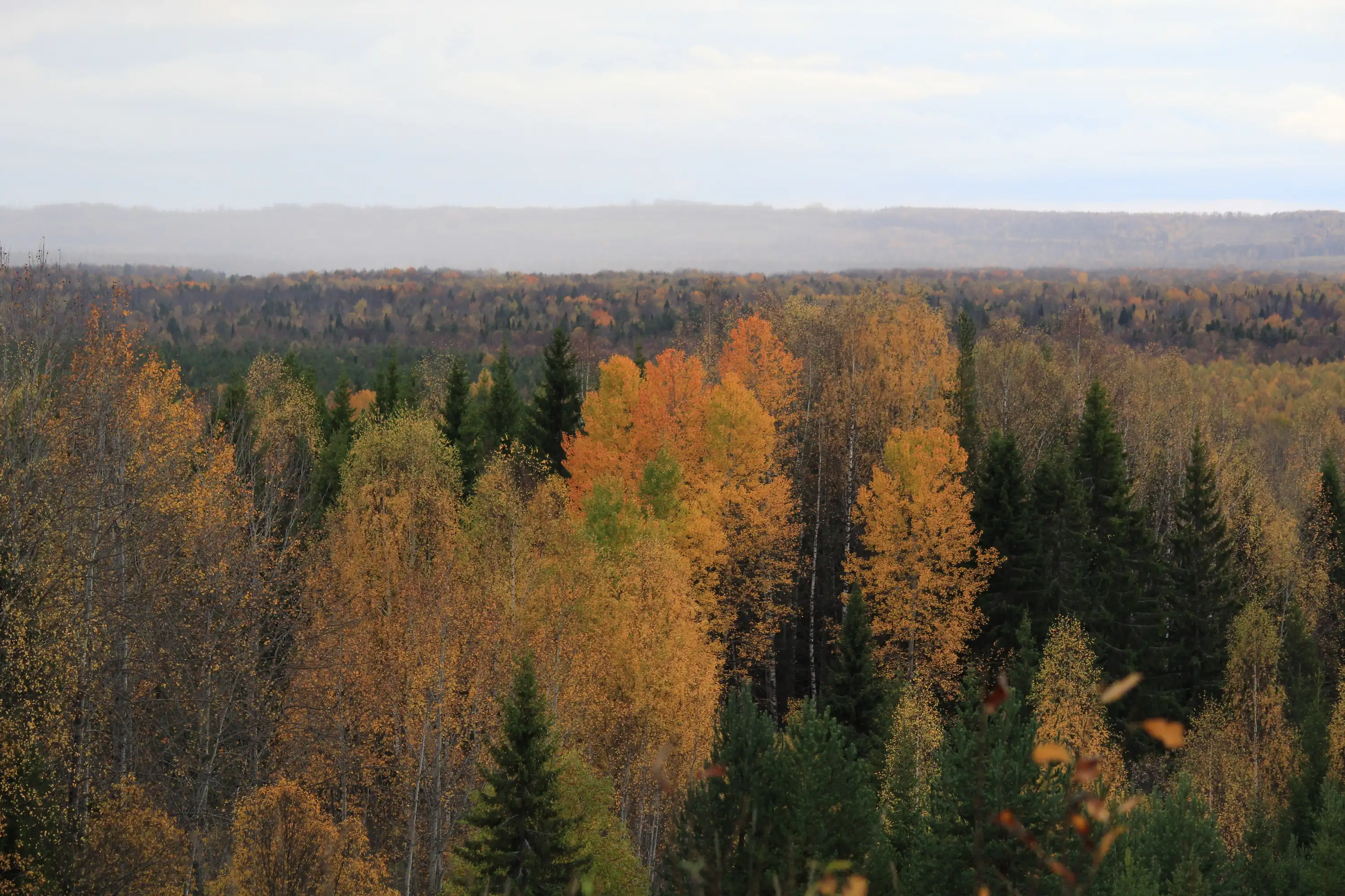
The Buckeye State Forestry Project is an Improved Forest Management (IFM) initiative spanning more than 86,000 acres of northern hardwood, oak, and pine forest owned and managed by the Ohio Department of Natural Resources (Ohio DNR)—approximately 43% of its 200,000-acre forest holding, including significant portions of 13 state forests. Much of this land was acquired after years of high-grading by previous landowners, and Ohio DNR has been rehabilitating it for timber production, soil and water protection, wildlife habitat, and recreation, while relying on timber revenue to fund state forest operations.
The project’s baseline follows the harvest levels allowed under the pre-existing state management plan. Under the carbon project, Ohio DNR has reduced annual harvesting below those levels, with carbon credit sales offsetting the decrease in timber revenue. The project is registered with the American Carbon Registry and is anticipated to create more than 1.6 million mtCO2 of emissions reductions over its first 20 years.
Beyond carbon impact, carbon revenue supports invasive species removal, land acquisition and reforestation, and wildlife habitat management across a state forest system offering more than 350 miles of bridle trails, 80 miles of hiking/backpacking trails, and 50 miles of mountain bike trails—including a new wilderness trail system in the Shawnee State Forest and permanent water sources for horse camps.

Additionality
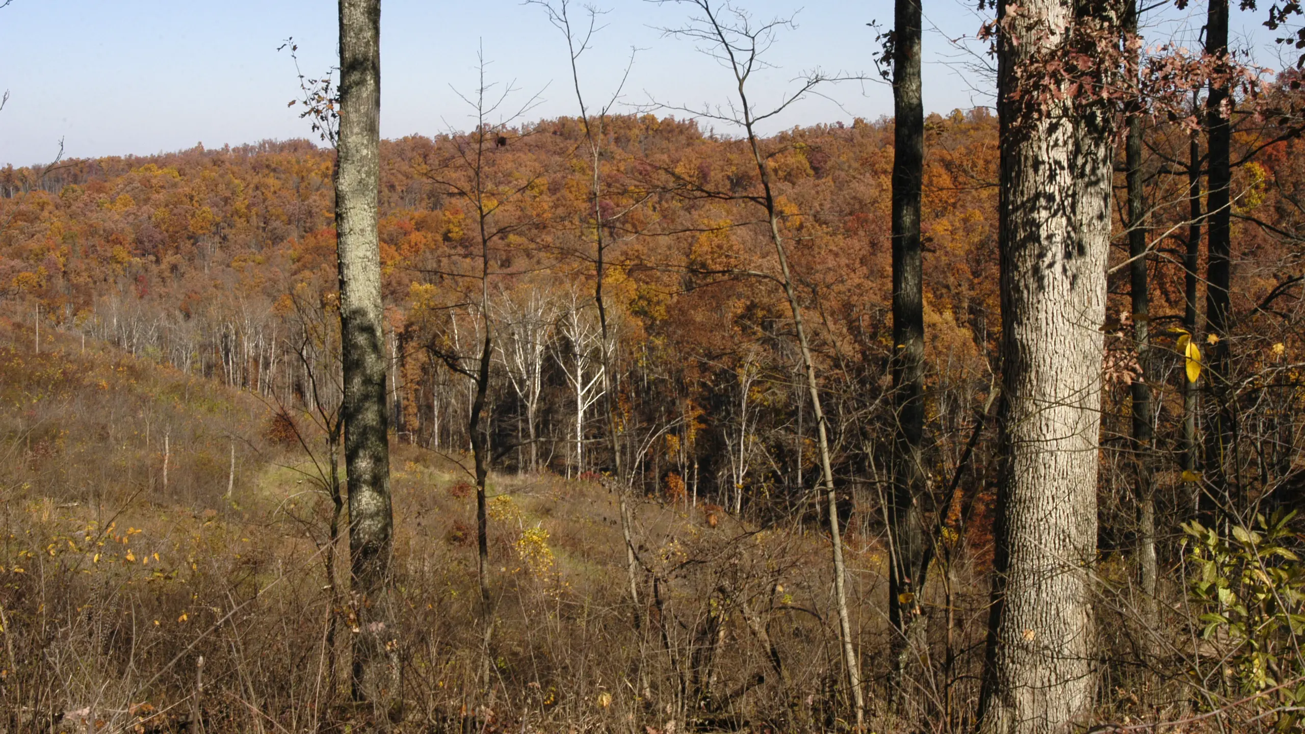
The Anew - Buckeye State Forestry Project, owned and managed by the Ohio Department of Natural Resources (Ohio DNR), includes more than 86,000 acres of actively managed northern hardwood, oak, and pine forests. The project area is a large expanse, representing approximately 43% of Ohio DNR’s 200,000-acre forest holding which includes significant portions of 13 state forests: Beaver Creek, Blue Rock, Dean, Hocking, Gifford, Harrison, Maumee, Mohican-Memorial, Richland Furnace, Shade River, Sunfish Creek, Shawnee, and Yellow Creek. Much of Ohio DNR’s landholdings have been acquired following intensive commercial timber management by previous landowners. Historical practices degraded the land after years of high-grading—wherein the largest, most economically valuable trees are removed in the short-term without consideration for the future impact on the forest. Under their ownership, Ohio DNR has been rehabilitating these lands for timber production and other uses, such as soil and water protection, game and non-game wildlife habitat, and recreation.
Ohio DNR must balance the financial pressures of harvesting on public lands with other priorities such as conservation and recreation. The State has maintained commercial timber management across much of its forests as timbering revenues also represent a large source of annual income used to fund operational activities, but there have been conflicting pressures.
This carbon project has instituted a reduction in annual harvesting, and to be successful, the decrease in timber revenue requires offsetting through the sale of carbon credits. Diversifying its income through carbon credit sales allows Ohio DNR to employ alternative management strategies that may not generate income by themselves but are compatible with carbon sequestration, such as invasive species removal and recreational improvements. In addition, the carbon project will provide insights on how specific silvicultural treatments impact carbon storage over time and will create incentives for Ohio DNR to focus on long-term and multiple-use forest management, which could incorporate wider buffers, more retention areas, and less aggressive regeneration techniques. Carbon revenue will also support the State’s goals to acquire and reforest private lands across the state, remove invasive plant species impacting forest health, and improve wildlife habitat management, thereby enhancing carbon storage in Ohio and helping to offset forest conversion in developing areas.
Carbon contracts can provide a valuable alternative revenue source for the division that will enable us to continue to protect the valued resources of our great state.
— Gregory Guess, an Ohio DNR Forester
Baseline Description
The baseline scenario closely follows the harvest levels allowed for in the pre-existing state management plan, in which the annual allowable cut is approximately 50% of tree growth in large forests (>5,000 acres) and 100% of growth in small forests. As Gregory Guess further describes:
Ohio has diverse markets for all timber products. According to U.S. Forest Service Timber Products Output data, Ohio processes more raw timber than it harvests, signifying a robust forest economy compared to adjacent states. State forests have sold to multiple mills and loggers over the past decade, and the project area itself contains a significant amount of the economy’s forest products.
The carbon project commits Ohio DNR to decrease their harvests, below levels allowed by the current management plan, while enabling the state to focus on long-term forest management strategies that provide a variety of public and environmental benefits.
Regional Harvest Activities
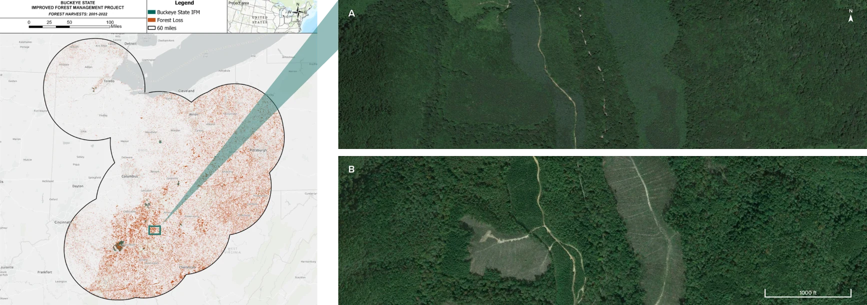
A conservative baseline scenario considers not only what a landowner could do, but what a landowner plausibly would do in the absence of the harvest limitations associated with a carbon project. In the following map, Anew demonstrates actual recent harvests in the project area’s region. This data speaks to the strength of local timber markets and common management practices on forested properties of comparable size and ownership type—an integral piece in informing the accuracy and viability of assumptions in the baseline scenario.
Harvest Comparison
All harvests/forest losses larger than 5 acres that happened between 2001 and 2022 within a 60 mile radius from the project area are depicted in orange, showing the very real pressures on forests in the area. The carbon project ensures sustainable management on the project area for 40 years, twice as long as the period depicted above.
Hansen, M. C et al. “High-Resolution Global Maps of 21st-Century Forest Cover Change.” Science 342 (15 November 2013 & updates): 850–53. https://glad.earthengine.app/view/global-forest-change
Regional Mill Map
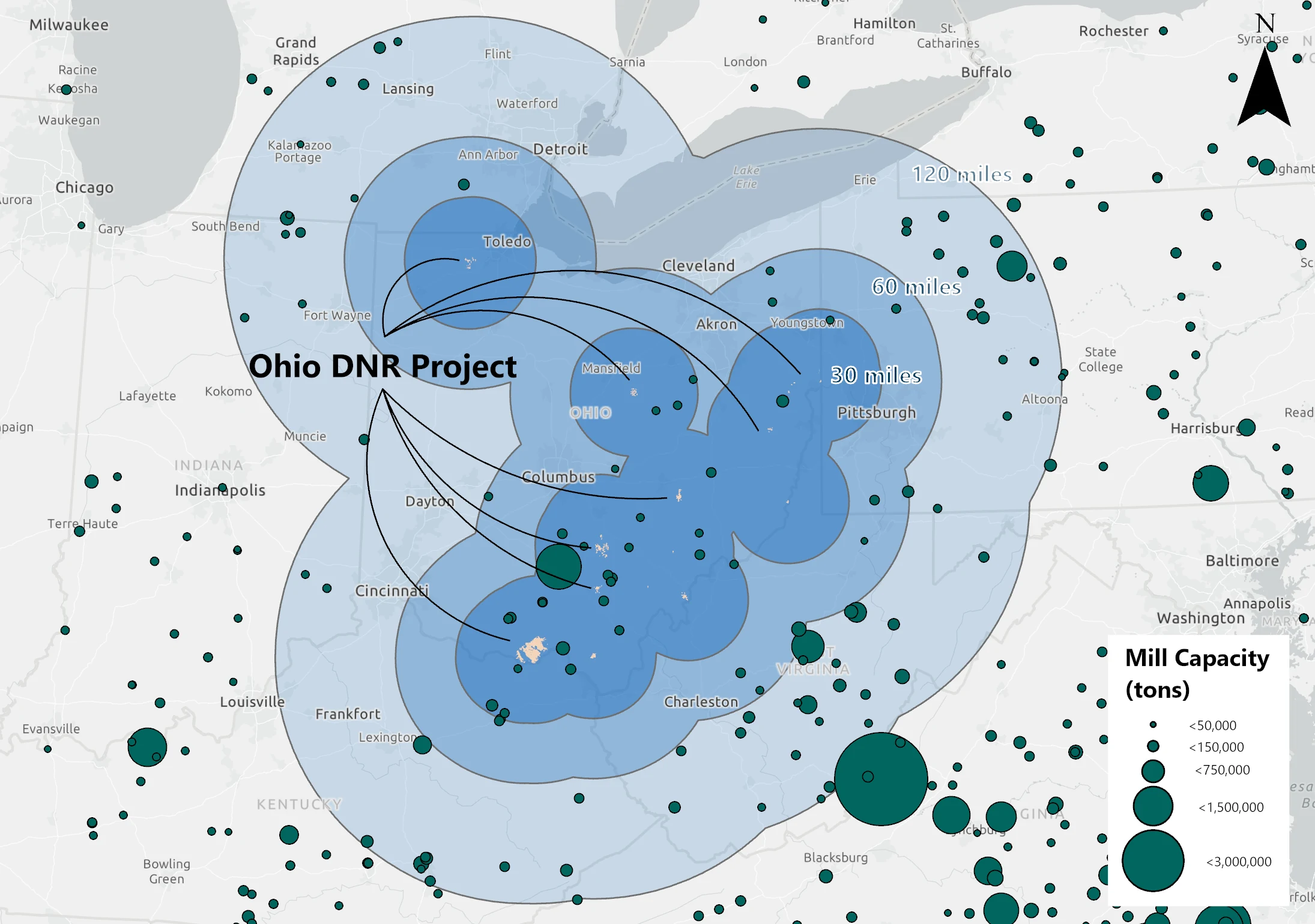
A strong understanding of local forest products infrastructure is key to building a realistic and conservative baseline scenario. To carry out harvests modeled in the baseline, a forest property must be within a feasible travel distance to active processing facilities. This map presents mills that are drivable from the project area along with their relative processing capacity, delineating a framework for a current or future landowner to move timber in the absence of the carbon project, thereby providing a critical piece of direct evidence to the credibility and additionality of the carbon credits resulting from the project’s activities.
Area Regional Mill Capacity
The calculated mill capacity is 14.34 million green tons within 120 miles of the project boundary, which represents ample capacity for the baseline to be absorbed.
Co-benefit Highlight
The Anew - Buckeye State Forestry Project provides a direct benefit to those who value recreation in Ohio while also supporting state land managers’ climate mitigation efforts. Ohio DNR’s forests, some of the largest contiguous forestlands in the state, offer extensive recreational opportunities across more than 350 miles of bridle trails, 80 miles of hiking/backpacking trails, and 50 miles of mountain bike trails. According to the Ohio Forest Action Plan, the public forestlands within the state generate $273 million in recreation benefits annually. The forest carbon project will help fund the expansion and improvement of recreational access while also enabling new opportunities through the protection of forests that were previously facing competing use for timber products. Two planned projects include a new wilderness trail system in the Shawnee State Forest, and the installation of permanent water sources for the horse camps throughout the state forest system.
Project Impacts
Sustainable Development Goals in action
A universal blueprint for a better world—Anew is helping deliver on the United Nations global vision for social, economic, and environmental sustainability.

Quality Education
The carbon project will provide opportunities to enhance and complement ongoing scientific research across Ohio’s state forests, including studies on topics such as prescribed fire, oak regeneration, and invasive species management. Ohio’s Vinton Furnace State Forest also serves as a U.S. Forest Service experimental forest. The Ohio DNR supports and collaborates with a variety of organizations, such as the U.S. Forest Service, Ohio State University, and Ohio University by providing research sites, in-kind labor, and a Research Advisory Committee that reviews and coordinates potential research projects—some of which are long-term projects that are part of a national research program. This important collaboration contributes scientific knowledge which will promote sustainable, natural, forest-based infrastructure across the state.

Clean Water and Sanitation
The Buckeye State Project protects streams highly rated for habitat and stream quality by the Ohio Environmental Protection Agency. To promote soil stability, prevent erosion, and support water quality for the watershed, the Ohio DNR retains live tree biomass, fine woody debris, and snags in riparian areas and tree plantings are conducted to increase forest cover. As part of the carbon project, Ohio DNR will implement wider streamside management zones, increase biomass retention, and promote natural regeneration to reduce erosion and increase water quality. As the project area covers 43% of state-owned forests, it will have a positive impact on drinking water users across the state.

Sustainable Cities and Communities
Given that this project is comprised of public land, there is prominent accessibility across the project area for recreational activities such as hunting, fishing, and ATV use. The project directly contributes to green space opportunities for the public while supporting a healthy and sustainable recreation-based economy. Carbon revenues will support wilderness trail development and water infrastructure for horse camps.

Climate Action
By reducing annual harvesting by at least 30% across the forests enrolled, the carbon project will provide significant climate benefits by protecting existing carbon stocks and promoting long-term carbon sequestration. The Ohio DNR Division of Forestry (DOF) is also engaging in the Ohio Hills Adaptive Silviculture for Climate Change Project with various other collaborators, which is a multi-decade experiment to develop creative silvicultural actions for sustaining oak ecosystems in the face of climate change.

Life on Land
The state forests represent the highest quality forest tracts in Ohio. Through sustainable forest management, the Ohio DNR aims to create and maintain an elevated level of interspersed and connected habitats necessary to support a variety of native species. The project area is a haven for migratory songbirds and hundreds of Rare, Threatened, and Endangered (RTE) flora and fauna. Management in the context of the carbon project will include increasing biomass retention for wildlife habitat and overall forest health, implementing even- and uneven-aged silviculture to diversify forest species composition and structure, and expanding forest cover for forest-dependent species like wild turkey, white-tailed deer, black bear, bobcat, and mid-successional forest bird species. Carbon revenues will be used to expand the state forest system through land acquisitions and to support invasive species removal projects.
How does IFM generate both removals and conservation credits?
Conservation Credits
Conservation credits account for climate benefit coming from the protection of the project area. Emissions that would have been released if the land was instead harvested in the absence of the project are quantified. Many of the co-benefits associated with forestry projects are inherently linked to the preservation of existing forest stands.
Removal Credits
As the newly protected trees grow, carbon is pulled from the atmosphere and sequestered in the trees’ wood material through the most proven direct air capture technology on the planet, photosynthesis.